Who we are

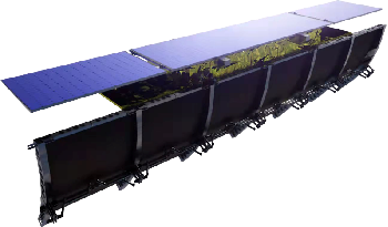
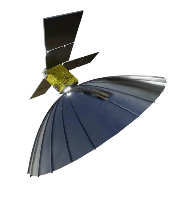
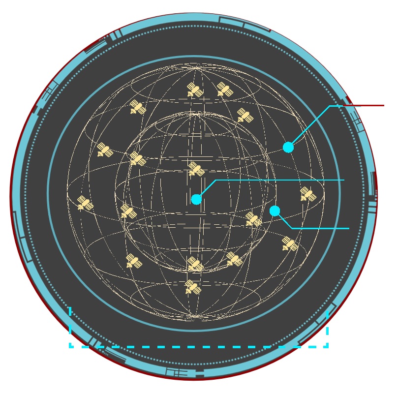
AIRSAT Group is a new type of mixed ownership enterprise initiated by the Aerospace Information Research Institute of the Chinese Academy of Sciences (AIRCAS) in December 2020. The company is committed to the industrial transformation of scientific and technological achievements in the AIRCAS, focusing on the industrial promotion of SAR remote sensing satellites. With strong technological achievements and a expeirenced technical team AIRSAT is a commercial aerospace enterprise that covers satellite design, payload R&D, constellation operation, aerospace assets management, and EO data services. Serving various fields such as global ecological resources, energy, smart cities, disaster prevention and reduction, emergency rescue, maritime monitoring and planning, etc.

We are providing satellite related service to our customers world widely on:

  • Satellite imaging of the earth timely, on optical camera, SAR, hyperspectral
  • Consulting report to different industrial requirements
  • Satellite designing and launching

Partnership with customers, to monitor, analysis, deduce the event happened on the earth, or in the space.

Satellite Imaging

Based on commercial satellite resources. We can provide observation image service with a very high repeat rate.

The data of our constellation will be ready on Q2 2024. We can supply the data commercially since then. The resolution rate can be as high as 0.5m. The service can work on any weather and any light.

We have specialists for many industries, so that we can offer consulting report based on customers’ requirements and our big remote image database. We can do the following but not limited to:

  • Climate
  • Agriculture
  • City management and planning
  • Sea
  • Emergency management
  • Energy and mining
  • Boarder safety
  • And etc…

Satellite designing service

We have overall scheme design capability of different satellites:

  • SAR satellites
  • EO satellites
  • Hyper spectral satellites
  • IOT satellites

With a very big cost saving, we use modular design method to give a fast design-win.

We can setup local service unit close to our customer world widely.

Our designed SAR AIRSAT-01 for our own constellation:

  • SAR band: Ku-band;
  • Antenna: Parabolic antenna;
  • Polarization: HH;
  • Orbital configuration: The two satellites have the same orbit and the phase difference is 180°;
  • SAR imaging modes: Sliding spotlight, stripmap;
  • Resolution/swath width: 0.5m@10km*10km(sliding spotlight), 2m@18-20km(stripmap);
  • Imaging capability: 3min per track / 5min for the first track and the second track does not work;
  • Intelligent processing on satellite;

The design of AIRSAT-03 for our own constellation:

  • SAR band: X-band;
  • Antenna: Parabolic antenna;
  • Polarization: HH;
  • SAR imaging modes: Sliding spotlight , stripmap;
  • Resolution/swath width: 0.5m@10km*10km(sliding spotlight), 2m@18-20km(stripmap);
  • Imaging capability: 3min per track / 5min for the first track and the second track does not work;
  • Intelligent processing on satellite;

The design of AIRSAT-05 for our own constellation

  • SAR band: X-band;
  • Antenna: Phased array antenna;
  • Polarization: multi-polarization, HH, VV, HV, VH;
  • Nominal orbit: 505 km repeat sun-synchronous orbit;
  • SAR imaging modes: Spotlight, stripmap, scanSAR;
  • Resolution/swath width: 0.5m@3km*5km(spotlight ), 3m@30km(stripmap), 40m@330km(scanSAR);
  • Imaging capability: 3min per track / 5min for the first track and the second track does not work;
  • Beidou short message: Control satellite task via BeiDou short message in global area;
    Intelligent processing on satellite;

AIRSAT constellation

We are planning our constellation of earth observation satellites. Mostly SAR satellites with performance as:

  • AIRSAT-01 and AIRSAT-02 (SAR satellite) is scheduled to be launched by Q2 2024.
  • AIRSAT-HS-1, which carried SAR and Optical payloads, is scheduled to be launched by Q3 2024
  • AIRSAT-03 and AIRSAT-04 (SAR satellite) is scheduled to be launched by Q4 2024.
  • AIRSAT-05 is scheduled to be launched in Q3 2025.
  • Other satellites in the constellation is to be planned.
  • The system will be completed in 2027.
  • 40+ operational satellites with a system
  • All-day, all-weather data acquisition capability
  • Resolution 0.5 meters
  • Maximum swath 120km
  • Hourly revisit

With the help of our service station across the globe:

We can provide our customers commercial earth surface monitoring data service in visible light camera and SAR. Not limited by our own constellation, we can provide wide range of data from 100+ satellites.

Contacts

Welcoming contact us for any specific requirements of the commercial satellites:

  • Earth observation image on optical camera and SARs
  • Application report on different industries
  • Design commercial satellites

We can work with you together to design, launch and maintain the satellite together with you. Contact us here:

AIRSAT Technology Group Co., Ltd.

Add: 24/F, B Huangtai Industrial Park, 10777 Xiaoqinghe North Rd.

Tianqiao District, Ji’nan Shandong, China.

Tel: +86 531 5555 4278

Email: info@airsat.com.cn

View posts: